The site comprises 31.36 hectares (ha) of predominantly agricultural land, located to the east of Kirby Muxloe and to the west of the M1 motorway. The site adjoins the residential development of Kirby Fields to the west, which is also a designated conservation area. Further to the north-west are arable fields, beyond which lies Kirby Muxloe castle and its associated grounds.
To the south of the site lies a railway line, with mature shrubs and trees along its embankments, with residential development beyond. Ratby Lane, running to the north, provides vehicular access to the site.
A public footpath runs along the site boundary with Kirby Fields, with a strip of mature trees and scrub defining the western edge of the site. The footpath extends northward to Kirby Muxloe and southward to cross the railway line via a level-crossing and connecting the site to Beechwood Avenue. Another public footpath extends from the southeastern corner of the site, over a railway bridge and links to a cul-de-sac off Beechwood Avenue. The same footpath extends northward and passes underneath the M1 motorway to connect to the industrial estate east of the motorway. These public footpaths will be retained and enhanced, alongside the provision of an extensive new network of walking and cycling routes as part of the proposals.
The site is in a sustainable location within walking and cycling distance of local services and amenities, with nearby bus stops providing frequent services to Leicester.
The existing site boundaries are well vegetated and will be retained, with extensive new planting proposed, increasing tree cover across the site.
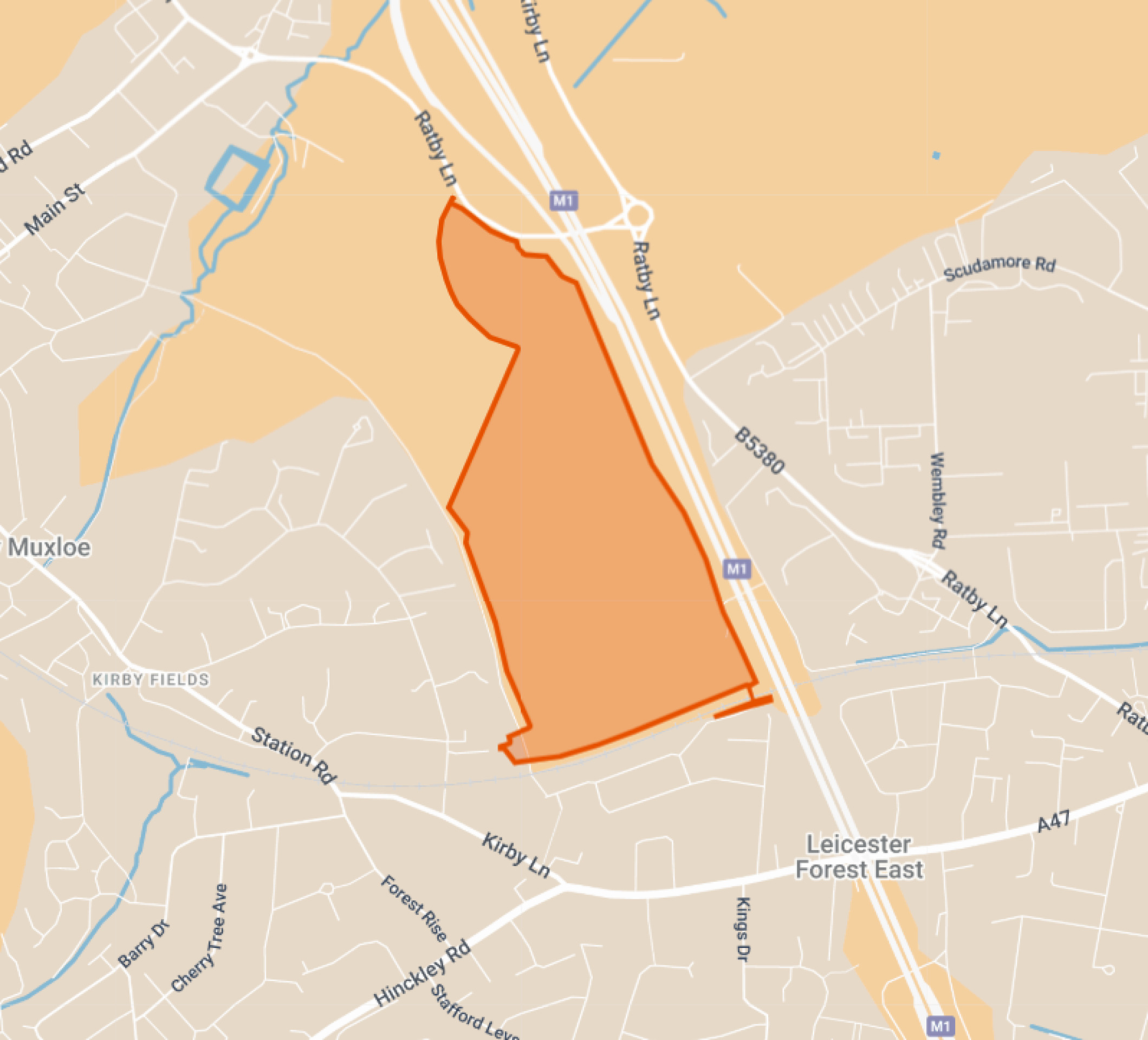
Site location (highlighted in red) - click to enlarge